The SR postcode area, also known as the Sunderland postcode area, is a group of eight postcode districts in north-east England, within three post towns. These cover eastern Tyne and Wear (including Sunderland) and north-east County Durham (including Seaham and Peterlee).
Coverage
The approximate coverage of the postcode districts:
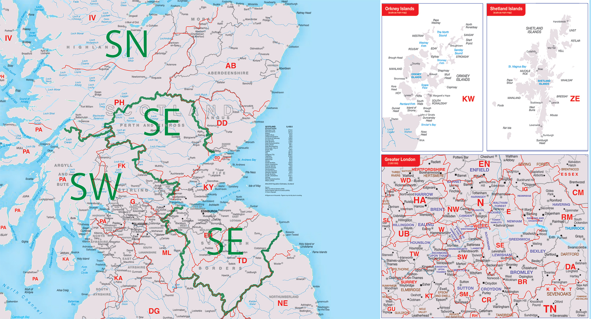
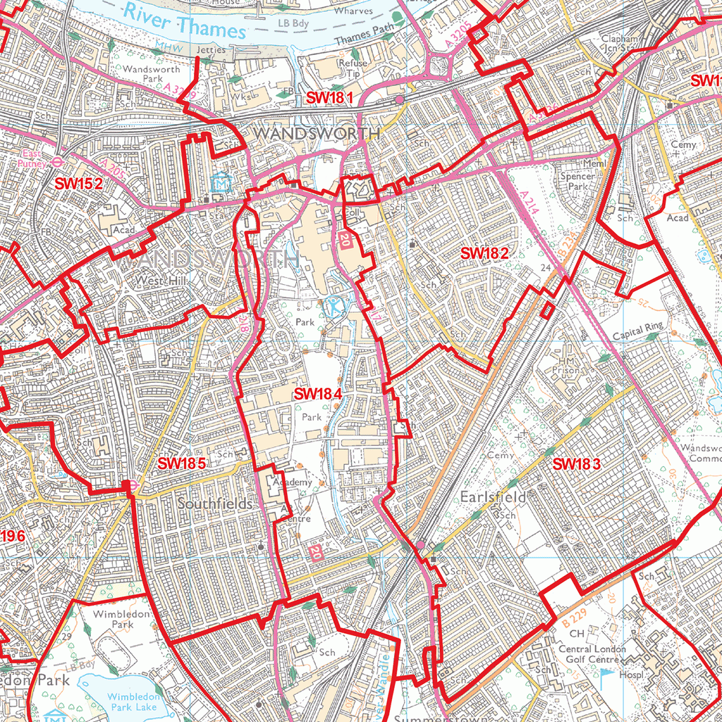
Map
References
External links
- Royal Mail's Postcode Address File
- A quick introduction to Royal Mail's Postcode Address File (PAF)
See also
- Postcode Address File
- List of postcode areas in the United Kingdom